GPS 系统
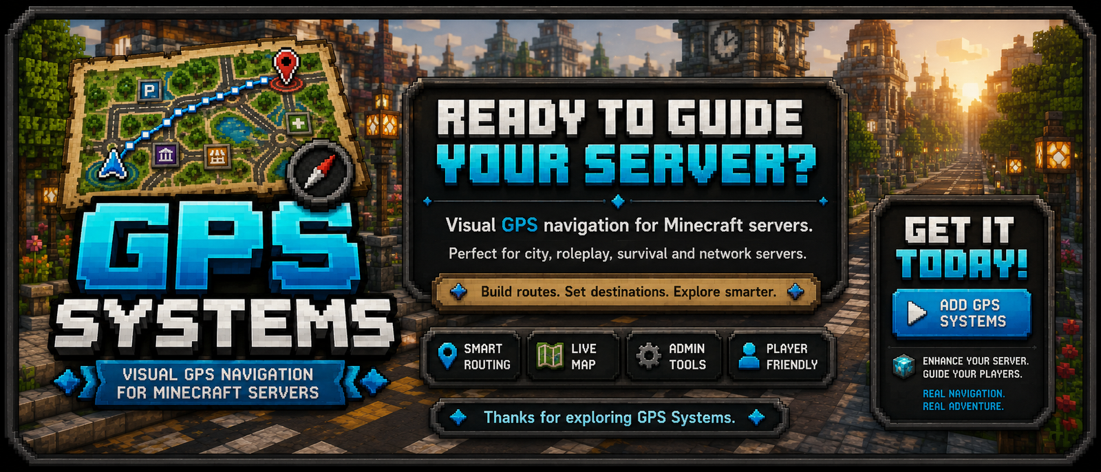
GPS Systems 是一款适用于 Spigot/Paper 的服务端插件,为 Minecraft 服务器增添了可视化的 GPS 导航功能。
 它允许玩家打开 GPS 地图、选择目的地、跟随活动路线、保存私人位置,并通过粒子效果、地图渲染、Boss 栏和操作栏指令接收逐句导航指引。
该插件专为城市、角色扮演、生存及网络类服务器设计,适用于需要引导式导航的道路、街区、公共服务设施和地标场景。

插件目前处于测试阶段,可能会出现错误!!!
完整指南请访问:
要求
- Minecraft 服务器:兼容 API
1.20 的 Spigot/Paper
- Java:
17
- 权限插件:可选,但建议用于管理/玩家访问控制
主要功能
- 带有启动/加载屏幕的游戏内 GPS 地图。
- 由管理员配置的公共目的地。
- 从 GPS 地图保存的私人玩家目的地。
- 使用交叉点和连接进行路网路由。
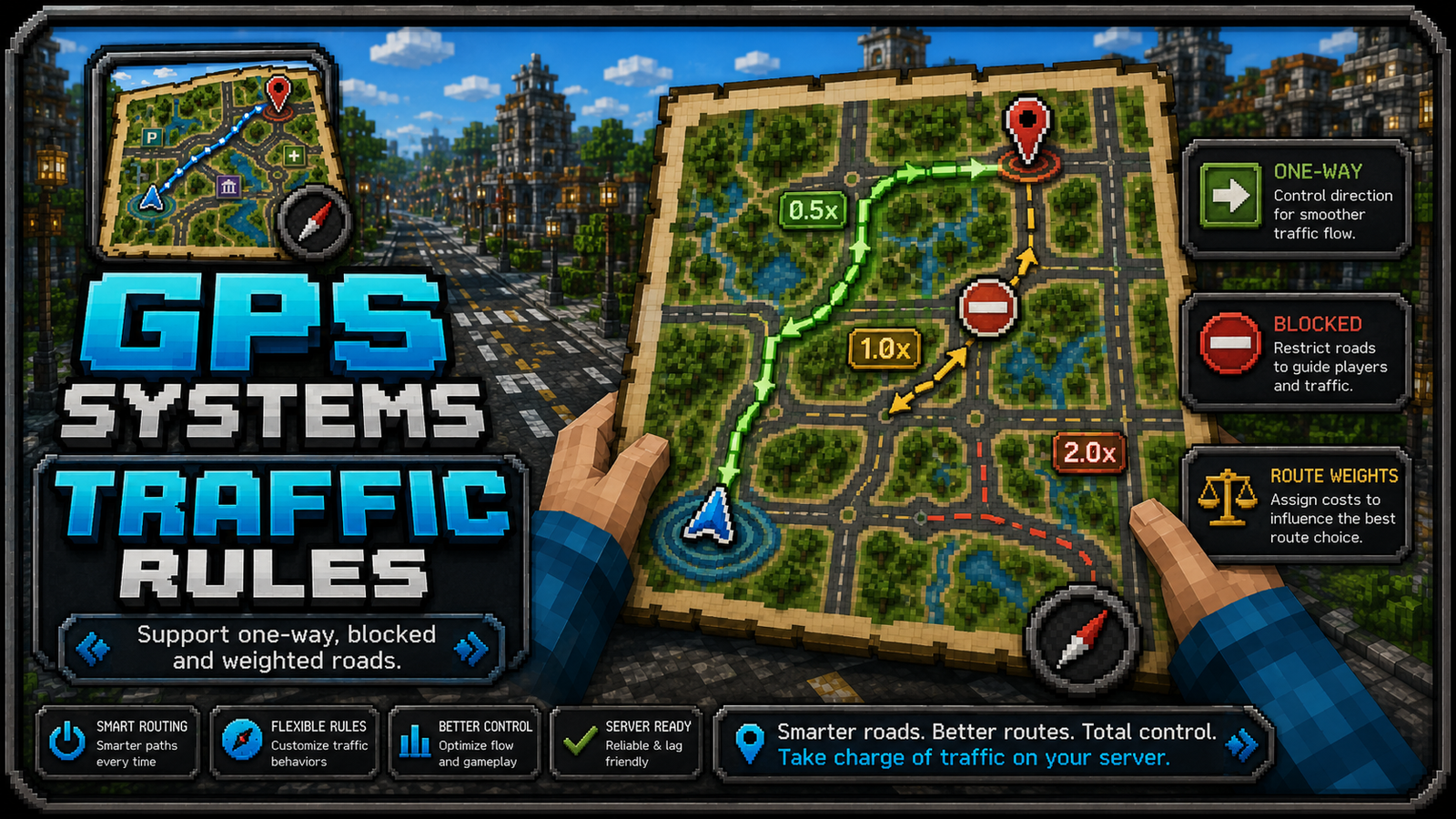
- 支持单行道、封锁路段和加权道路规则。
- 当玩家偏离路线或切换车道时动态重新计算路线。
- 目的地分类,包含颜色、符号和地图图标样式。
- 管理员工具,用于构建、链接、移除和检查路线网络。
- 管理员传送命令,可直接传送到指定目的地。
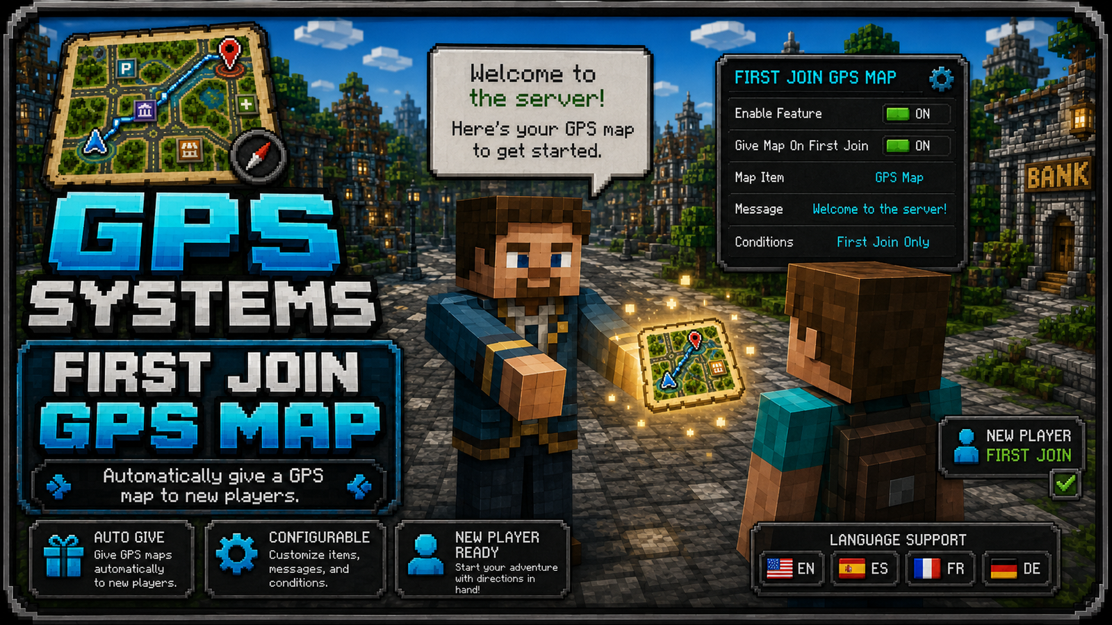
- 自动向新玩家提供 GPS 地图(可配置)。
- 多语言资源文件:
en_US、es_ES、fr_FR、de_DE。
工作原理
GPS Systems 使用三个主要数据层:
- 目的地
玩家可以导航到的公共和私人地点。公共目的地存储在 destinations.yml 中的 destinations 下。私人目的地存储在 player-destinations.<uuid> 下。
-
路线网络
 GPS 使用的道路图。它以路线点/交叉点和连接的形式存储在
network.yml 中。GPS 会在此图上计算路线,而不是画出穿过建筑物的不可能直线。
-
地图渲染
填充地图物品用于渲染目的地菜单、路线线、已完成的灰色部分、当前蓝色路线部分、目的地标记和本地虚线最终段。
基本玩家流程

- 玩家获得或获取一张 GPS 地图。
- 玩家右键点击地图以启动 GPS。
- 玩家打开地图菜单并选择“目的地”。
- 玩家选择一个目的地。
- GPS 开始导航,显示路线粒子、地图路线预览、Boss 栏/操作栏信息和目的地标记。
- 随着玩家移动,路线会更新。
管理员设置流程
- 使用
/gps admin 打开管理员面板。
- 获取 GPS 工具。
- 使用
GPS Intersection Tool 创建交叉点。

- 链接交叉点以创建道路。



- 使用
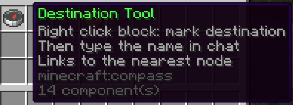
GPS Destination Tool 或 /gps set 创建目的地。
- 使用
/gps start <destination> 或 GPS 地图测试路线。
工具
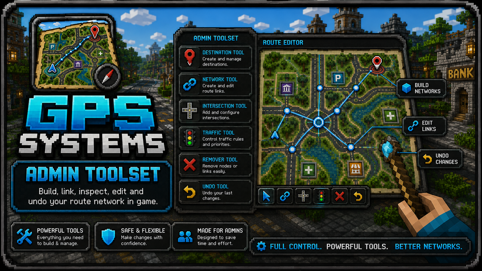 所有工具的显示名称均遵循格式
GPS <Name> Tool。
GPS Destination Tool:标记和创建公共目的地。
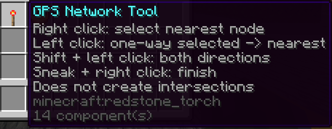
GPS Network Tool:可视化网络/编辑器覆盖工具。
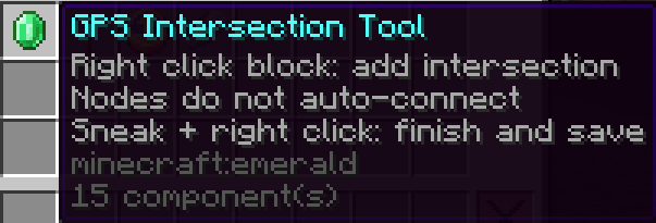
GPS Intersection Tool:创建和链接交叉点。
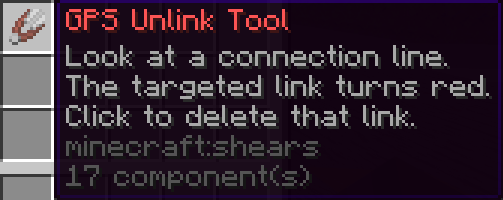
GPS Remover Tool:移除链接或交叉点。
GPS Undo Tool:撤销最近的路线网络更改。
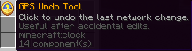
GPS Toolset Tool:管理员菜单项,提供全套工具。

命令
| 指令 |
权限 |
描述 |
/gps |
gpssystems.use |
打开 GPS 菜单。 |
/gps menu |
gpssystems.use |
打开 GPS 菜单。 |
/gps start <目的地> |
gpssystems.use |
开始导航至指定目的地。 |
/gps stop |
gpssystems.use |
停止当前导航。 |
/gps list |
gpssystems.use |
列出可用的目的地。 |
/gps admin |
gpssystems.admin |
打开管理员菜单。 |
/gps reload |
gpssystems.admin |
重新加载配置、语言文件、目的地和网络数据。 |
/gps set <id> <display name> |
gpssystems.admin |
在你当前位置创建一个目的地。 |
| /gps point <id> <显示名称> | gpssystems.admin | 在当前所在位置创建一条路线点/交叉点。 |
| /gps connect <点A> <点B> | gpssystems.admin | 连接两个路线点。 |
| /gps link <目的地> <点> | gpssystems.admin | 将公共目的地链接到路线点。 |
| /gps builder | gpssystems.admin | 切换路线构建器模式。 |
/gps editor |
gpssystems.admin |
切换网络编辑器覆盖层。 |
/gps tool |
gpssystems.admin |
提供管理员 GPS 工具。 |
/gps map |
gpssystems.admin |
提供 GPS 地图。 |
/gps tp <目的地> |
gpssystems.admin |
传送至指定目的地。 |
/gpstp <目的地> |
gpssystems.admin |
传送至指定目的地。 |
/tp <目的地> |
gpssystems.admin |
如果可用,作为管理员快捷传送的别名。 |
权限
| 权限 |
默认值 |
描述 |
gpssystems.use |
true |
允许玩家使用 GPS 菜单和导航功能。 |
gpssystems.admin |
op |
允许使用管理工具、编辑、重载及传送命令。 |
配置文件
config.yml
控制全局行为:
- 语言选择。
- GPS 地图缩放与示意图模式。
- 首次加入服务器时自动显示 GPS 地图。
- 路径跟随走廊。
- 车道匹配。
- 反向行驶匹配。
- 动态重新计算。
- 目的地本地/直接虚线段。
- Boss 栏、动作栏与粒子效果。
- 音频与视觉表现。
重要设置:
settings:
  give-gps-map-on-first-join: true
此设置会自动为新手玩家发放一张 GPS 地图。
destinations.yml
存储公共服务器目的地、私人玩家目的地以及分类样式。
公共目的地示例:
destinations:
  spawn:
    enabled: true
    display-name: "Spawn"
    description: "Main server spawn."
    world: "world"
    x: 0.5
    y: 64.0
    z: 0.5
    yaw: 0.0
    pitch: 0.0
    icon: "COMPASS"
    permission: ""
    category: "Spawn"
分类样式用于定义目的地在 GPS 地图上的外观:
category-styles:
  enabled: true
  color-labels: true
  rules:
    police:
      color: "#3B82F6"
      symbol: "P"
      categories:
        - "Police"
      pattern:
        - ".###."
        - "#####"
        - "##.##"
        - ".###."
        - "..#.."
network.yml
存储路线网络:
points: 交叉点/节点。streets: 命名街道组。edge-streets: 边到街道的映射。edge-rules: 单行道、封闭道路或加权道路规则。destination-points: 公共目的地到网络节点的链接。
大多数服务器应使用游戏内工具编辑此文件,而非手动修改。
在游戏中编辑目的地图标
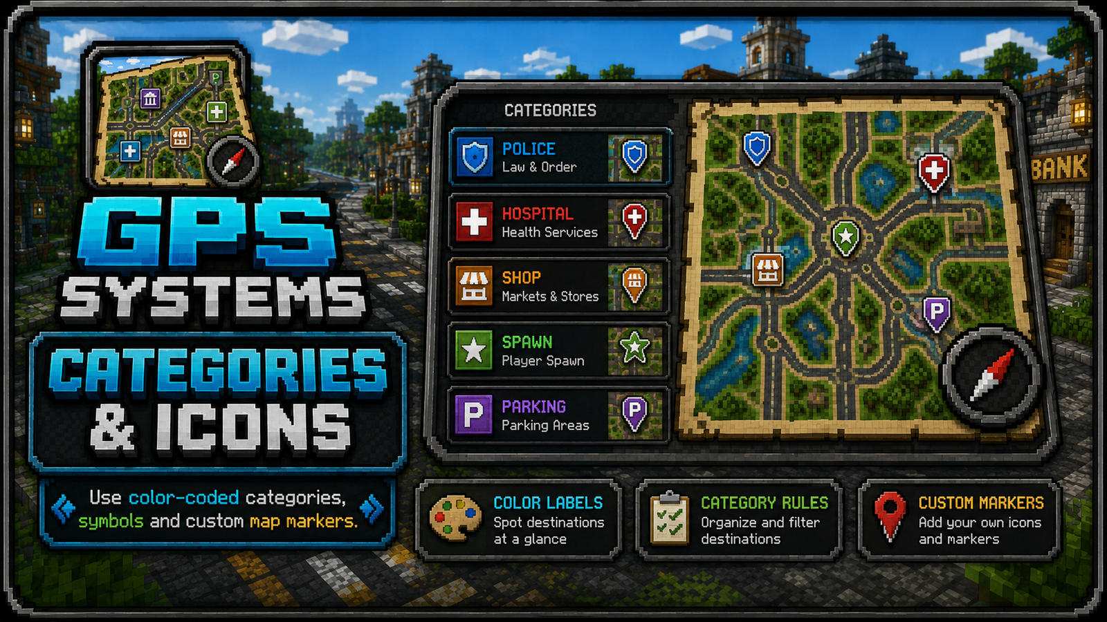
管理员可以从“Public Destinations”菜单编辑公共目的地图标。
- 左键点击:开始导航。
- 右键点击:重命名目的地。
- Shift+点击:使用鼠标指针或主手物品设置目的地图标。
图标以 Bukkit 材质名称保存至 destinations.yml 文件中。
建造道路与交叉口
使用 GPS Intersection Tool 创建并连接交叉口。第一次点击的节点和第二次点击的节点定义了创建方向性链接时的方向。方向指示器通过粒子效果可视化显示,以便管理员查看单行道和双向路线。
使用 GPS Remover Tool 在注视时移除链接或交叉口。
如果需要撤销最近的网络编辑,请使用 GPS Undo Tool。
交通规则
交通规则位于 network.yml 中的 edge-rules 下。
成本乘数可以影响路径规划:
1.0: 普通道路。2.0: 较低优先级的路线。0.5: 高优先级/快速路线。
路线行为
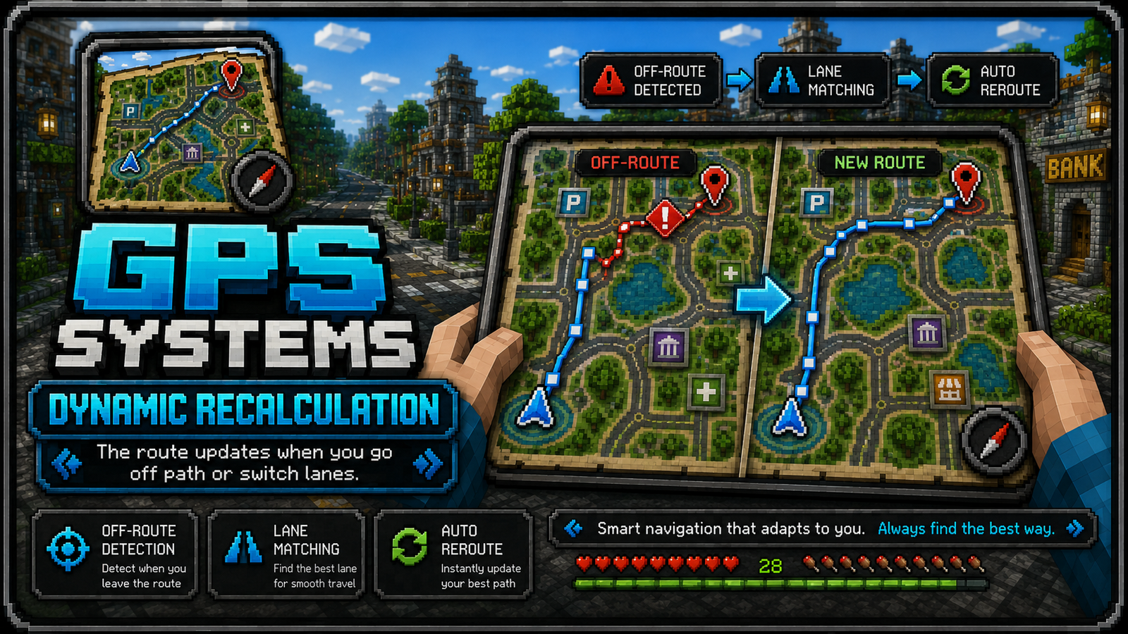
GPS Systems 力求在快速纠正错误的同时保持路线稳定:
- 它会遵循当前激活的路线,而不是不断重新计算。
- 它会检测玩家是否偏离路线。
- 如果配置了车道/方向检查,它会进行验证。
- 当目的地靠近路边或离玩家非常近时,它可以添加虚线本地路段。
- 它会将已完成的地图路线部分显示为灰色。
关键选项:
navigation:
  dynamic-recalculate: true
  lane-match-recalculate: true
  route-direction-match: true
  destination-local-direct: true
  destination-local-direct-player-radius: 70.0
推荐设置建议
- 在重要的道路交汇点、车道分叉点和转弯点放置交叉口。
- 如果道路有弯道或多个入口,避免使用过长的道路链接。
- 对分离的车道使用单向规则。
- 使用分类功能来创建易于阅读的目的地菜单和地图颜色。
- 保持目的地图标简洁且易于识别。
- 从多个方向测试路线,而不仅仅是在出生点。
支持说明
如果某条路线看起来不正确:
- 检查目的地是否链接到有效的网络节点。
- 检查单向规则未被颠倒。
- 检查附近并行车道的表示是否正确。
- 根据道路宽度调整车道匹配半径的大小。
- 使用游戏内编辑器覆盖层检查交叉口和连接点。
插件目前处于测试阶段,可能会出现错误!
完整指南请访问:
GPS Systems
GPS Systems is a Spigot/Paper plugin that adds visual GPS navigation to Minecraft servers.
It lets players open a GPS map, choose destinations, follow active routes, save private locations and receive turn-by-turn guidance through particles, map rendering, boss bars and action bar instructions.
The plugin is designed for city, roleplay, survival and network-based servers where roads, districts, public services and landmarks need guided navigation.
PLUGIN IS ON BETA PHASE, BUGS MIGHT APPEAR !!!
For full guide go to:
Requirements
- Minecraft server: Spigot/Paper compatible with API
1.20
- Java:
17
- Permission plugin: optional, but recommended for admin/player access control
Main Features
- In-game GPS map with boot/startup screen.
- Public destinations configured by admins.
- Private player destinations saved from the GPS map.
- Road-network routing using intersections and links.
- One-way, blocked and weighted road rules.
- Dynamic recalculation when players leave the route or switch lanes.
- Destination categories with colors, symbols and map icon patterns.
- Admin tools to build, link, remove and inspect route networks.
- Admin teleport command to jump directly to a destination.
- Automatic GPS map given to new players, configurable.
- Multi-language resource files:
en_US, es_ES, fr_FR, de_DE.
How It Works
GPS Systems uses three main data layers:
- Destinations
Public and private places players can navigate to. Public destinations are stored under destinations in destinations.yml. Private destinations are stored under player-destinations.<uuid>.
-
Route Network
The road graph used by the GPS. It is stored in network.yml as route points/intersections and connections. The GPS calculates routes across this graph instead of drawing impossible straight lines through buildings.
-
Map Rendering
The filled map item renders destination menus, route lines, completed grey sections, current blue route sections, destination markers and local dotted final segments.
Basic Player Flow
- Player receives or obtains a GPS map.
- Player right-clicks the map to boot the GPS.
- Player opens the map menu and selects
Destinations.
- Player selects a destination.
- GPS starts navigation with route particles, map route preview, boss bar/action bar information and destination marker.
- The route updates as the player moves.
Admin Setup Flow
- Use
/gps admin to open the admin panel.
- Get the GPS tools.
- Create intersections with the
GPS Intersection Tool.
- Link intersections to create roads.
- Create destinations with the
GPS Destination Tool or /gps set.
- Test the route using
/gps start <destination> or the GPS map.
Tools
All tool display names follow the format GPS <Name> Tool.
GPS Destination Tool: marks and creates public destinations.
GPS Network Tool: visual network/editor overlay tool.
GPS Intersection Tool: creates and links intersections.
GPS Remover Tool: removes links or intersections.
GPS Undo Tool: reverts recent route-network changes.
GPS Toolset Tool: admin menu item that gives the full tool set.
Commands
| Command |
Permission |
Description |
/gps |
gpssystems.use |
Opens the GPS menu. |
/gps menu |
gpssystems.use |
Opens the GPS menu. |
/gps start <destination> |
gpssystems.use |
Starts navigation to a destination. |
/gps stop |
gpssystems.use |
Stops current navigation. |
/gps list |
gpssystems.use |
Lists available destinations. |
/gps admin |
gpssystems.admin |
Opens the admin menu. |
/gps reload |
gpssystems.admin |
Reloads config, languages, destinations and network data. |
/gps set <id> <display name> |
gpssystems.admin |
Creates a destination at your current location. |
/gps point <id> <display name> |
gpssystems.admin |
Creates a route point/intersection at your current location. |
/gps connect <pointA> <pointB> |
gpssystems.admin |
Connects two route points. |
/gps link <destination> <point> |
gpssystems.admin |
Links a public destination to a route point. |
/gps builder |
gpssystems.admin |
Toggles route builder mode. |
/gps editor |
gpssystems.admin |
Toggles network editor overlay. |
/gps tool |
gpssystems.admin |
Gives admin GPS tools. |
/gps map |
gpssystems.admin |
Gives a GPS map. |
/gps tp <destination> |
gpssystems.admin |
Teleports to a destination. |
/gpstp <destination> |
gpssystems.admin |
Teleports to a destination. |
/tp <destination> |
gpssystems.admin |
Short admin teleport alias if available. |
Permissions
| Permission |
Default |
Description |
gpssystems.use |
true |
Allows players to use GPS menus and navigation. |
gpssystems.admin |
op |
Allows admin tools, editing, reload and teleport commands. |
Configuration Files
config.yml
Controls global behavior:
- Language selection.
- GPS map zoom and schematic mode.
- Automatic GPS map on first join.
- Route following corridor.
- Lane matching.
- Wrong-direction matching.
- Dynamic recalculation.
- Destination local/direct dotted segments.
- Boss bar, action bar and particles.
- Audio and visual behavior.
Important setting:
settings:
  give-gps-map-on-first-join: true
This gives new players a GPS map automatically.
destinations.yml
Stores public server destinations, private player destinations and category styles.
Example public destination:
destinations:
  spawn:
    enabled: true
    display-name: "Spawn"
    description: "Main server spawn."
    world: "world"
    x: 0.5
    y: 64.0
    z: 0.5
    yaw: 0.0
    pitch: 0.0
    icon: "COMPASS"
    permission: ""
    category: "Spawn"
Category styles define how destinations appear on the GPS map:
category-styles:
  enabled: true
  color-labels: true
  rules:
    police:
      color: "#3B82F6"
      symbol: "P"
      categories:
        - "Police"
      pattern:
        - ".###."
        - "#####"
        - "##.##"
        - ".###."
        - "..#.."
network.yml
Stores the route network:
points: intersections/nodes.streets: named street groups.edge-streets: link-to-street mapping.edge-rules: one-way, blocked or weighted roads.destination-points: public destination to network point links.
Most servers should edit this with in-game tools, not manually.
Editing Destination Icons In Game
Admins can edit public destination icons from the Public Destinations menu.
- Left click: start navigation.
- Right click: rename destination.
- Shift-click: set the destination icon using the item in your cursor or main hand.
The icon is saved into destinations.yml as the Bukkit material name.
Building Roads And Intersections
Use GPS Intersection Tool to create and link intersections. The first clicked node and second clicked node define the direction used when creating directional links. Direction indicators are shown visually with particles so admins can see one-way and two-way routes.
Use GPS Remover Tool to remove links or intersections while looking at them.
Use GPS Undo Tool if you need to revert a recent network edit.
Traffic Rules
Traffic rules live in network.yml under edge-rules.
Cost multipliers can influence routing:
1.0: normal road.2.0: less preferred route.0.5: preferred/fast route.
Route Behavior
GPS Systems tries to keep routes stable while still correcting mistakes quickly:
- It follows the active route instead of recalculating constantly.
- It detects when players leave the route.
- It checks lane/direction when configured.
- It can add dotted local segments when the destination is beside the road or very close to the player.
- It greys out completed map route sections.
Key options:
navigation:
  dynamic-recalculate: true
  lane-match-recalculate: true
  route-direction-match: true
  destination-local-direct: true
  destination-local-direct-player-radius: 70.0
Recommended Setup Tips
- Place intersections at meaningful road joins, lane splits and turn points.
- Avoid extremely long road links if the road has curves or multiple entrances.
- Use one-way rules for separated lanes.
- Use categories for readable destination menus and map colors.
- Keep destination icons simple and recognizable.
- Test routes from several directions, not only from spawn.
Support Notes
If a route looks wrong:
- Check the destination is linked to a valid network point.
- Check one-way rules are not reversed.
- Check nearby parallel lanes are represented correctly.
- Increase or decrease lane matching radius depending on road width.
- Use the in-game editor overlay to inspect intersections and links.
PLUGIN IS ON BETA PHASE, BUGS MIGHT APPEAR !!!
For full guide go to:


 插件

 插件
 插件
 插件
 插件

 插件
评论 0
登录后参与评分
还没有评论,来抢沙发吧